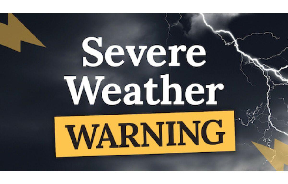

CHAMPAIGN, IL (Chambana Today) — Forecasters are warning of a significant severe weather outbreak across central Illinois Tuesday evening, with the Champaign area among the locations that could see dangerous storms.
The primary severe weather window is expected between 5 p.m. and midnight Tuesday, with storms developing during the late afternoon and moving east-northeast at about 30 to 40 miles per hour.
Meteorologists say the greatest tornado threat is south of Interstate 80, including communities such as Champaign, Bloomington, Springfield and Kankakee. Some storms could become supercells capable of producing strong tornadoes, large hail and damaging winds.
The storms could bring hail up to two inches in diameter, which is large enough to dent vehicles and damage siding, along with wind gusts approaching 70 miles per hour capable of downing trees and causing structural damage.
Heavy rainfall is also possible, with one-half to three-quarters of an inch of rain expected in some areas. Localized flash flooding may develop in low-lying or poorly drained locations.
Forecasters say the severe weather threat is being fueled by warm, humid air from the Gulf of Mexico colliding with a cold front, creating unstable conditions favorable for powerful thunderstorms.
Some storm activity could linger into early Wednesday morning as a strengthening low-level jet helps maintain the storm system overnight.
Emergency officials urge residents to review their tornado safety plans, identify a safe shelter such as a basement or interior room on the lowest floor of a building and ensure they have multiple ways to receive weather warnings, including weather radios, mobile alerts and local media.
Drivers are also reminded to never drive through flooded roads, as even a small amount of moving water can carry away a vehicle.