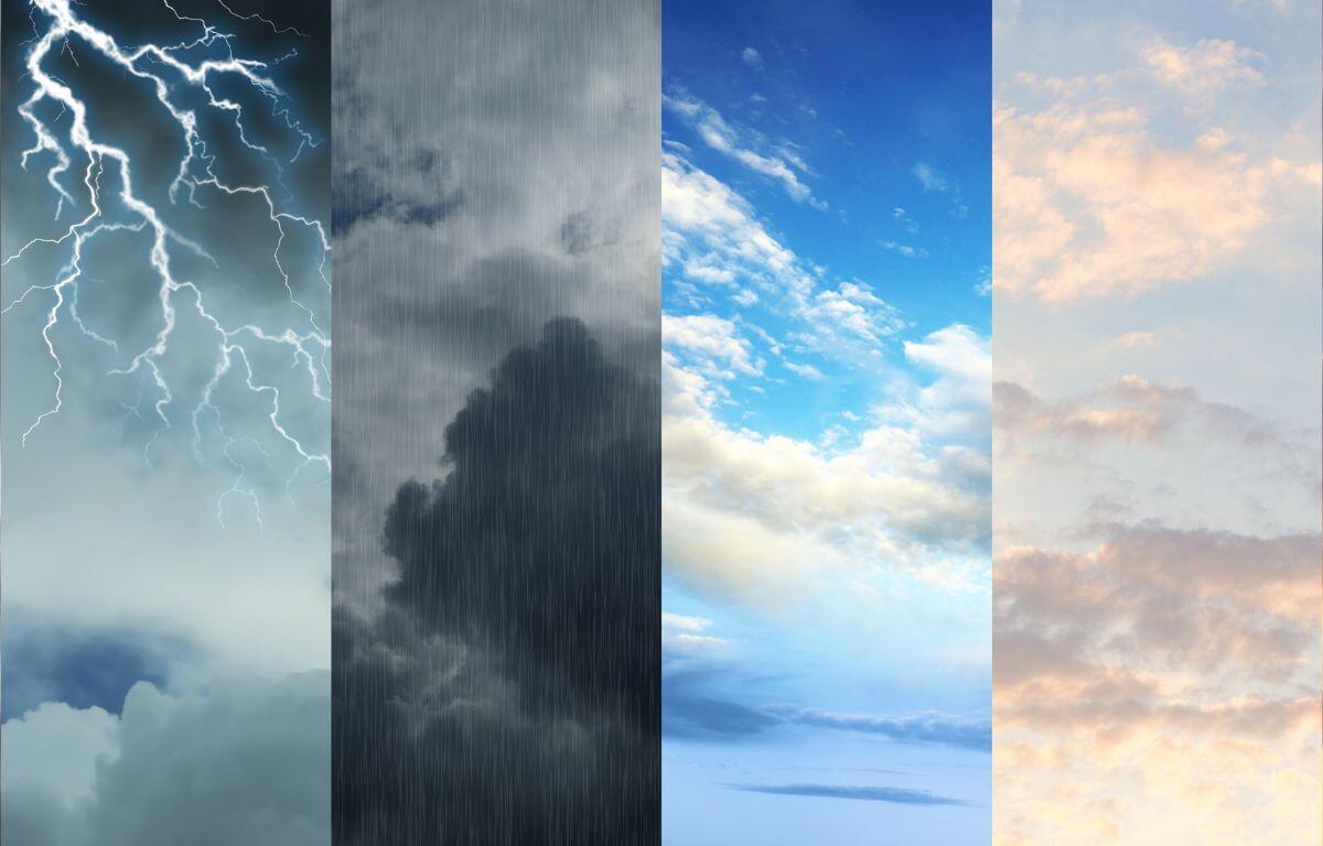

CHAMPAIGN, IL (Chambana Today) — A turbulent stretch of spring weather is expected across east central Illinois over the next five days, bringing a mix of rain, thunderstorms and cooler-than-average temperatures.
The period begins with the lingering effects of a regional storm system that has already triggered severe weather concerns across parts of the Midwest. Forecasters warn that Illinois has been in the path of active spring storm patterns capable of producing strong winds, heavy rain and isolated severe thunderstorms.
Saturday: Clouds and scattered showers will linger into the weekend, with temperatures climbing into the low-to-mid 50s. While widespread severe weather is not expected locally, the atmosphere will remain unsettled, and brief downpours are possible.
Sunday: Rain chances increase, especially later in the day, with patchy showers developing across the region. Highs will hover in the low 50s, with overnight lows dipping into the low 40s. Periods of light rain could become steadier at times.
Monday: Overcast skies dominate the start of the workweek. Temperatures remain cool, with highs near the low 50s and lows in the upper 30s. While rain becomes more scattered, damp conditions persist and skies stay mostly gray.
Tuesday: The wet pattern intensifies again, with steadier rainfall likely at times. Highs dip slightly into the upper 40s, making it one of the cooler days of the stretch. Rainfall totals may begin to add up as multiple systems pass through the region.
Wednesday: Conditions begin to stabilize, though clouds linger. A mix of partial sunshine and lingering clouds is expected, with highs rebounding into the low 50s. Any remaining showers taper off, signaling a gradual improvement heading into the latter part of the week.
Overall, the five-day outlook reflects a classic early-April pattern in Illinois, where fluctuating temperatures and frequent rain are common. Average highs this time of year typically sit in the mid-50s, with cool nights in the 30s and 40s.